to the cable cars
Top

Winter hike (with buggy): Gasthof Panorama – Helmhanghütte

Sexten
Add to favourites
Difficulty
Easy
Activity time
0:20
Duration in hours
Distance
1.2
Distance in km
Status
Closed
Categories
  • Hiking and mountain tours
  • Winter hiking trails
Tags
  • Linear route
  • Suitable for strollers
Suggested period
Jan
Feb
Mar
Apr
May
Jun
Jul
Aug
Sep
Oct
Nov
Dec

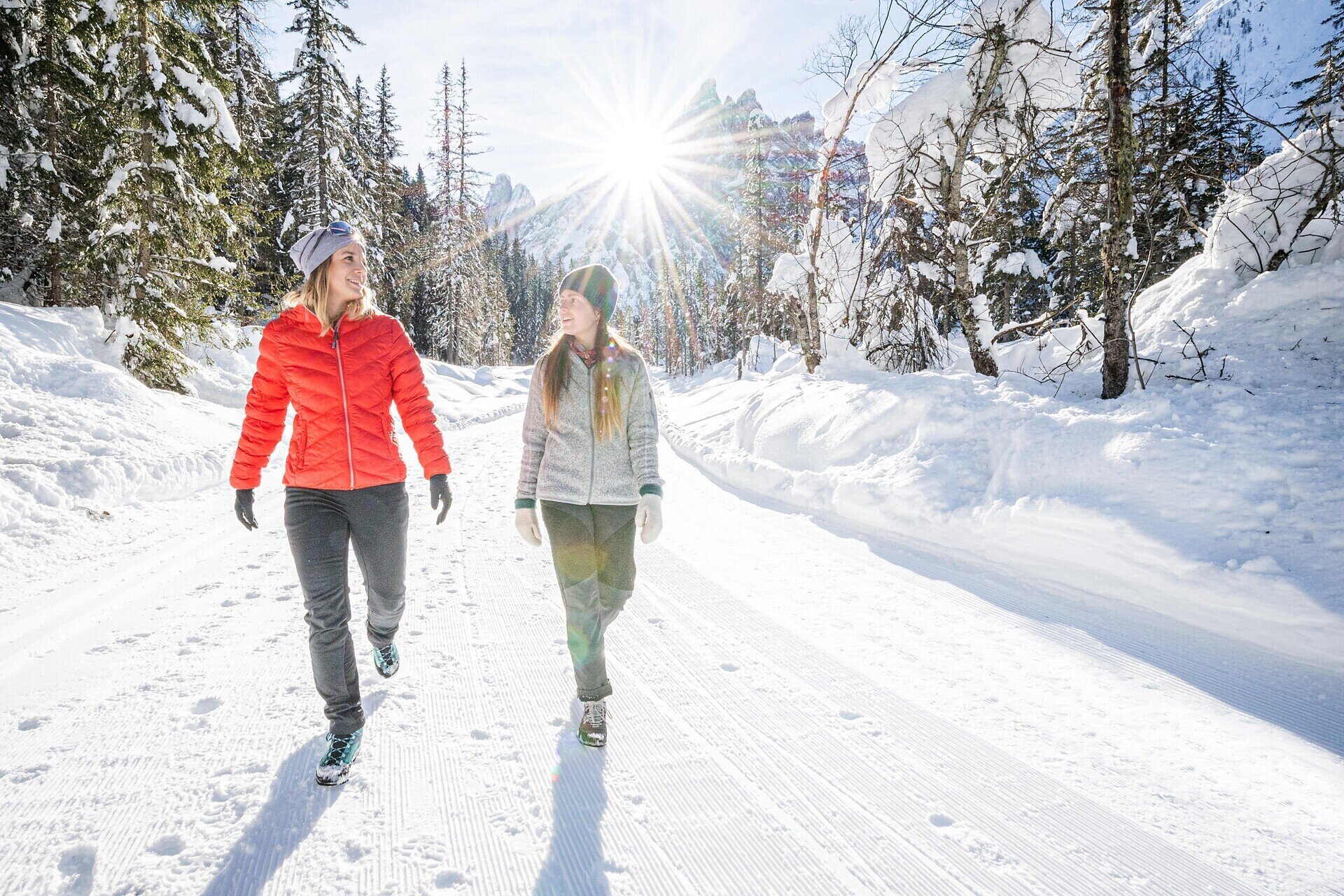
This easy winter hike leads through a snowy landscape up to the cozy Helmhanghütte.

- Ideal for families with children and all-terrain strollers
- Beautiful view of the Sexten sundial
- Much of the elevation gain is covered by car, making it a pleasant walk.
 

Gallery
Categories
  • Hiking and mountain tours
  • Winter hiking trails
Tags
  • Linear route
  • Suitable for strollers
Route info
Easy
Distance
1,2 km
Activity time
20 min
Ascent
64 m
Descent
9 m
Technical skills
Physical effort
Scenary
Highest point
1.565 m
Lowest point
1.625 m
You might be interested in
Discover related tours
© TV Sexten
Intermediate
Add to favourites
Sexten
Theme path: Mountain station Helmjet Sexten – Jägerhütte hut – Gasthof Waldruhe - Sexten
Distance 5,3 km
Activity time 1 h 35 min
Ascent 7 m
Descent 744 m
Status
open
© Kotter Steger
Intermediate
Add to favourites
Pragser Tal
Summer hiking tour - Ponticello/Brückele - Prato Piazza/Plätzwiese
Distance 4,2 km
Activity time 1 h 47 min
Ascent 507 m
Descent 11 m
Status
open
© Kottersteger
Intermediate
Add to favourites
Innichen
Winter hike: San Candido - Costa dei Nosellari/Haselsberg - Dobbiaco
Distance 4,8 km
Activity time 2 h 30 min
Ascent 184 m
Descent 122 m
Status
Closed
© © Strobl Josef
Intermediate
Add to favourites
Toblach
Theme path: The oldest Via Crucis of Tyrol
Distance 0,8 km
Activity time 30 min
Descent 16 m
Status
open
© @wisthaler
Intermediate
Add to favourites
Innichen, Sexten
Downhill into the valley, on the sunny side of Sesto
Distance 6,5 km
Activity time 2 h 10 min
Ascent 4 m
Descent 733 m
Status
open
© Harald Wisthaler
Intermediate
Add to favourites
Sexten
Hike: To the Gsellwiesen meadows
Distance 7,0 km
Activity time 3 h 35 min
Ascent 766 m
Descent 766 m
Status
Closed