to the cable cars

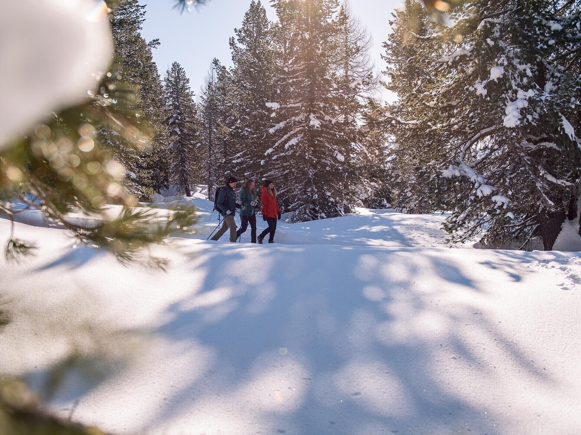
Winter hiking tour - Untergasse - Lärcha/Larici - NIederdorf/Villabassa

Pragser Tal, Niederdorf
Add to favourites
Category
Difficulty
Easy
Activity time
1:01
Duration in hours
Distance
4
Distance in km
Status
Closed

Very easy walk on the "Kirchweg" path with a view over the Pustertal valley.
Starting point: Säge/Segheria (1206 m)

Please note: Due to the temperature fluctuations, there may be icy patches on the trails and we therefore recommend the use of crampons!


Tags
  • Linear route
Route info
Easy
Distance
4,0 km
Activity time
1 h 01 min
Ascent
47 m
Descent
107 m
Technical skills
Physical effort
Scenary
Highest point
1.230 m
Lowest point
1.141 m
You might be interested in
Discover related tours
San Silvestro/Wahlen | © © TvToblach, Dobbiaco
Intermediate
Add to favourites
Toblach
Winter walking tour: Panoramic path Frondeigen/Franadega
Distance 4,7 km
Activity time 2 h 30 min
Ascent 347 m
Descent 4 m
Status
Closed
Winter Hike: Kreuzbergpass- Coltrondo Alm | © Sesto
Intermediate
Add to favourites
Sexten
Winter Hike: Kreuzbergpass- Coltrondo Alm
Distance 9,2 km
Activity time 3 h 00 min
Ascent 371 m
Descent 371 m
Status
Closed
Winter hike (with buggy): Sexten – Fischleintal Valley – Talschlusshütte | © Sesto
Intermediate
Add to favourites
Sexten
Winter hike (with buggy): Sexten – Fischleintal Valley – Talschlusshütte
Distance 5,8 km
Activity time 1 h 37 min
Ascent 215 m
Descent 3 m
Status
Closed
3 Zinnen Dolomites | © San Candido
Intermediate
Add to favourites
Sexten
Mountain station Stiergarten - Malga Klammbach - Negerdorf - Rifugio Pendio Monte Elmo - Moso
Distance 6,5 km
Activity time 1 h 53 min
Ascent 3 m
Descent 753 m
Status
open
Hiking | © Harald Wisthaler, Sesto
Intermediate
Add to favourites
Sexten
Winter Hike: Moos - Klammbachalm
Distance 6,2 km
Activity time 2 h 25 min
Ascent 610 m
Descent 1 m
Status
Closed
Winter hike: Gasthaus Alte Säge  – Innerfeldtal | © Harald Wisthaler, Sesto
Intermediate
Add to favourites
Innichen
Winter hike: Innerfeldtal
Distance 5,4 km
Activity time 1 h 45 min
Ascent 365 m
Descent 365 m
Status
Closed

