


Subscription finished



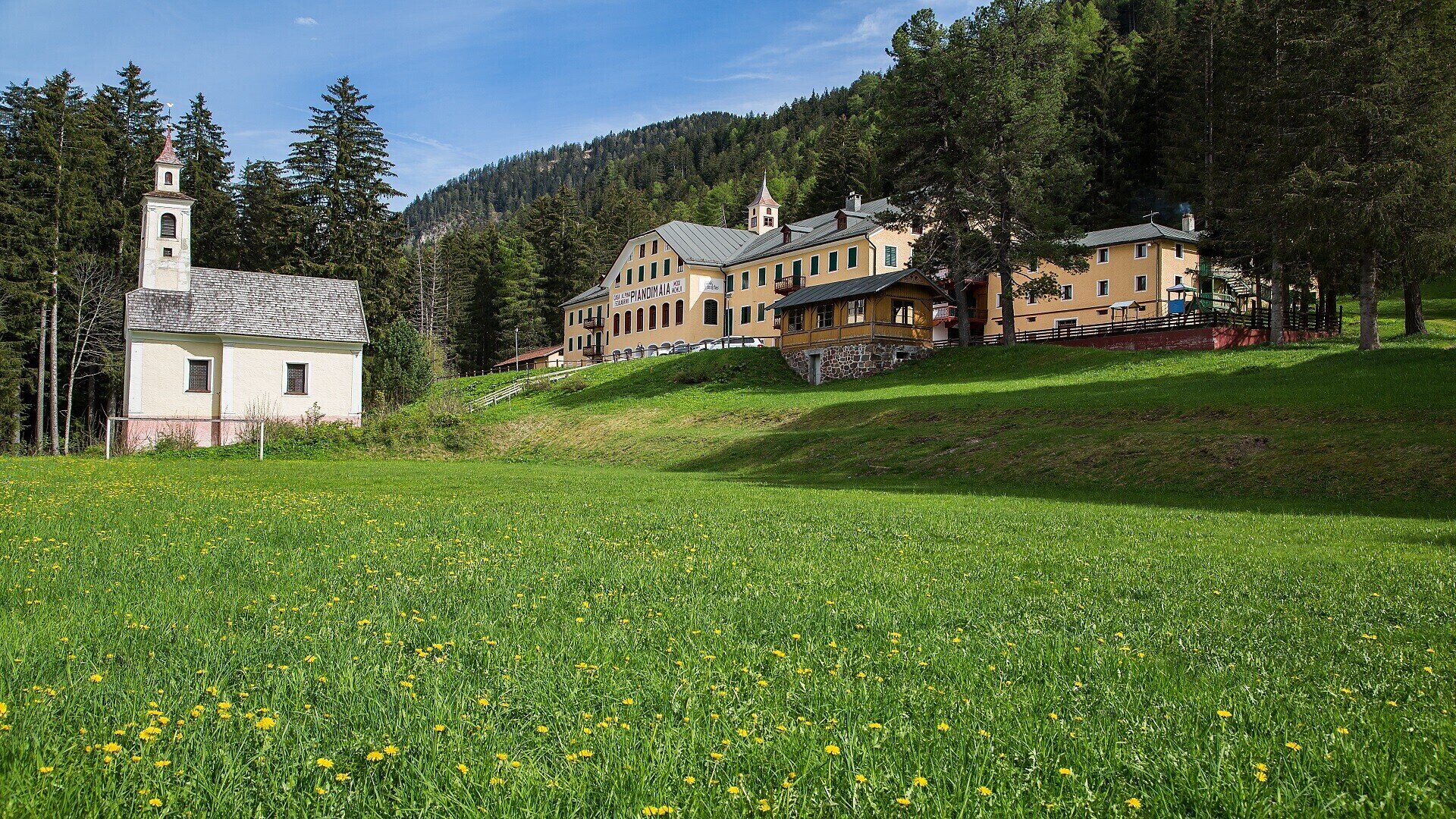
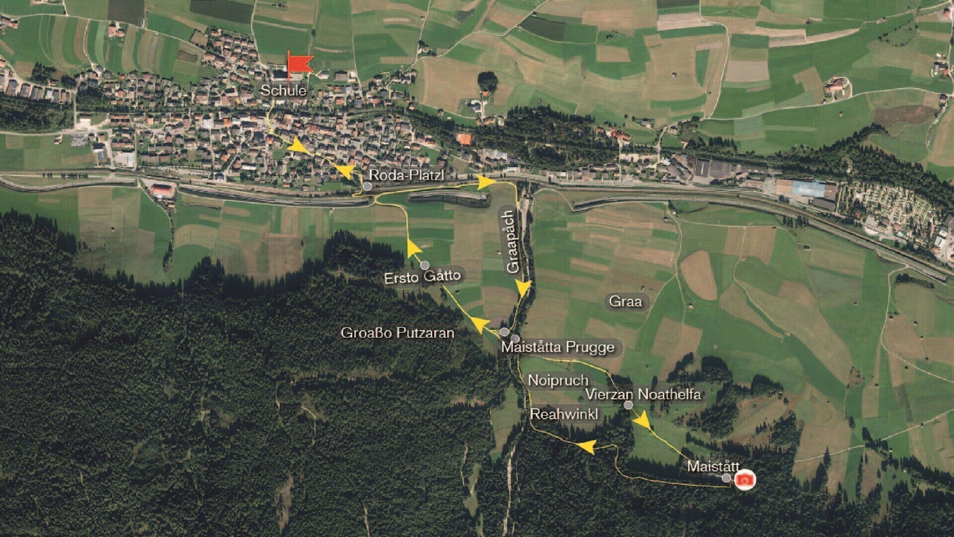
Our walk begins at the Elementary School. We cross the small bridge over the square, and soon arrive at Von Kurz Square. Facing the City Hall, we head east along Jakob-Traunsteiner Street, following it until it merges briefly with Johann-Jaeger Street. A short walk brings us to the small, peaceful square known as “Roda-Platzl”. We continue by passing through a nearby railroad underpass, then follow the road Maistatt up to its first gentle hill. At the top, we turn left and descend along a path that runs close to the railway, heading east. After another railroad underpass, we reach the area known as Graapach. Just before the bridge, we turn right until we rejoin the Maistatt Road. Here we cross the “Maiståtta Prugge” bridge. On the left stands a small pillar shrine dedicated to St. John of Nepomuk, protector of bridges and travelers. We continue along the road through Pian di Maia. On the right, the Noipruch fields stretch out into the distance, while to the left lie the fields of Graa. The path here is mostly flat but gradually ascends, leading us to a votive column dedicated to the Vierzan Noathelfa, the Fourteen Holy Helpers. We proceed a little further and arrive at Maistått once again. There we find a beautiful historic building, with a small chapel to St. Nepomuk. Behind the house, flows a thermal spring. From the spring, a narrow forest path leads westward, following the stream through the woods. We pass a manger for forest animals, then turn left onto a peaceful forest trail, which brings us to the Reahwinkl forest road. From here, we enjoy a lovely view of Ratsberg (Mount Rota) and the distant St. Mary’s Church, a well-known place of pilgrimage. Descending from Reahwinkl, we make our way back to the Maiståtta-Prugge Bridge. Turning left, we follow Maistatt Road back toward the village. On our left stretches the called Groaße Putzaran, which extends until we reach the area known as Ersto Gåtto / Kiagåtto (Gåtto meaning “fence”). We continue along the same road, pass once more through the railroad underpass, and return to the familiar Roda-Platzl. From there, it’s just a short walk back to the Elementary School.
Don't miss any highlights and discover the latest stories, events, and offers from the 3 Zinnen Dolomites region.