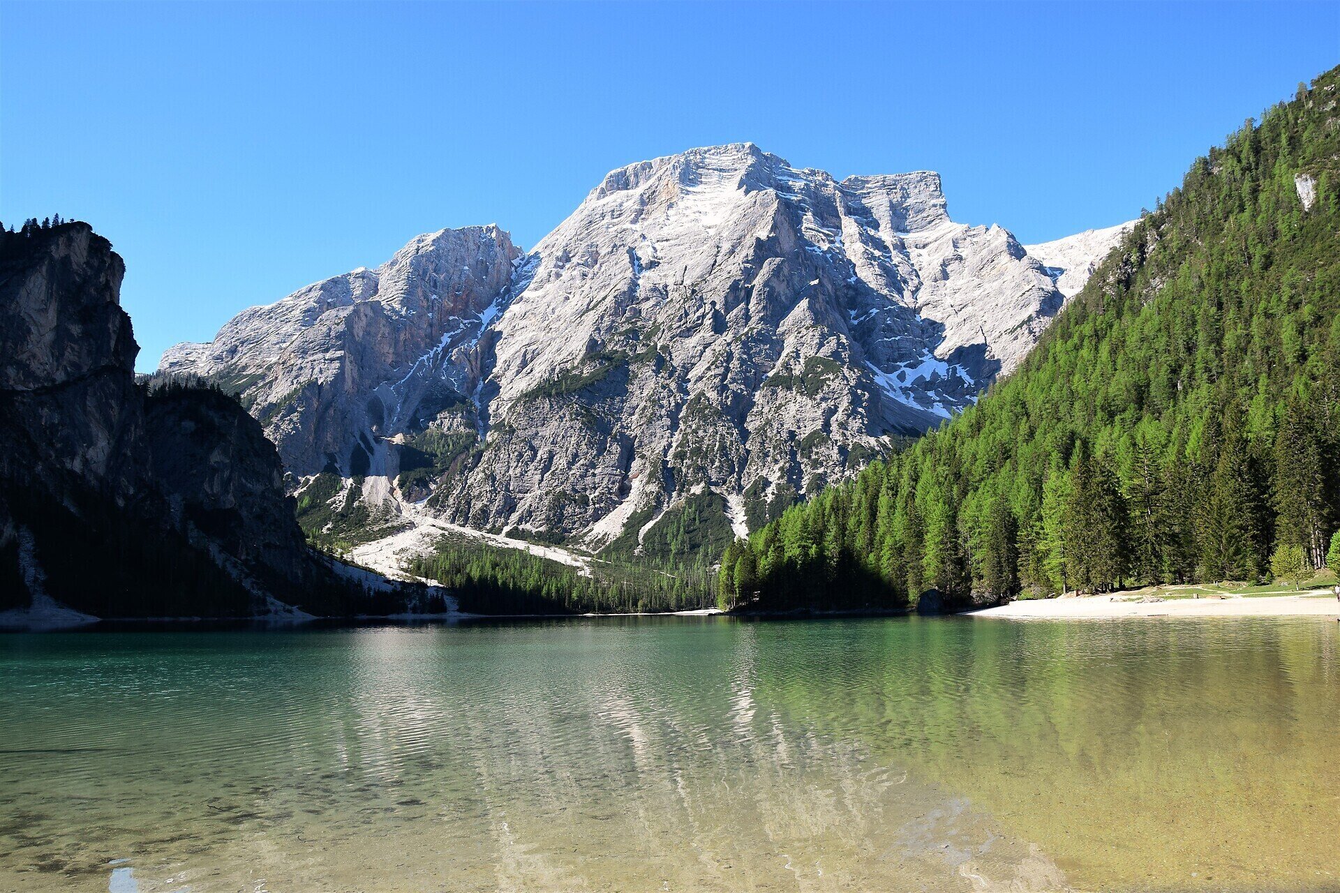
This alpine path leads along the north - south route through the eastern Dolomites.
This alpine path leads along the north - south route through the eastern Dolomites. During the course of the hike you will get to know interesting areas of the eastern Dolomites. The main route leads along an average height of 2.000m - so you have to expect high - alpine conditions. With the exception of the last sections, which can be bypassed on an easier path, experienced hikers will have no difficulties.
Route: Pragser Wildsee Lake - Buco del Giavo - Monte Muro - Biella hut - Senes Hut - Fodara Vedla Hut - Pederü Hut - Fanes Hut - Limp Pass - Large Fanes Pasture - Tadega Pass - Forcella del Lago - Rifugio Lagazuoi - Forcella di Lagazuoi - Falzarego Pass - Forcella Gallina - Forcella Nuvolau (Averau Hut) - Nuvolau Hut - Scoiattoli alle Cinque Torri - Cinque TOrri Hut - Ponte di Rocurto - Cason di Formin - Palmieri Hut - Forcella d' Ambrizzola - Forcella Col Duro - Forcella della Puina - Citta' di Fiume Hut - Staulanza Pass - Cas. Vescova - Forcella d' Alleghe - Coldai Hut - Forcella Coldai - Forcella di Col Negro - Val Civetta - Tissi Hut - Val Civetta- Vazzoler Hut - Forcella Col Palanzn - Forcella Col dell' Orso - Forcella del Camp - Carestiato Hut - Duran Pass - Forcella Dagarei - Forcella Moschesin - Pramperet Hut - Portela Piazedel - Forcella Sud del Van de Citta'- Bivacco Renzo Dal Mas - Forcella di Lavaretta - Casonet de Nerville - Forcella del Marmol - Bivacco Marmol - VIa Ferrate Marmol - Hut - 7° Alpini - Val d' Ardo - Case Bortot-Bolzano Bellunese - Belluno
Return to Alta Pusteria: by bus from Belluno via Tai di Cadore and from Cortina back to Dobbiaco and on Pragser Wildsee Lake. The bustickets from Dobbiaco to Pragser Wildsee Lake from 10 july till 10 settembre must be acquired online on the website www.braies.bz