to the cable cars
Top

Family hike with buggy: Sexten – Fischleintal valley – Talschlusshütte hut

Sexten
Add to favourites
Difficulty
Easy
Activity time
3:05
Duration in hours
Distance
12.3
Distance in km
Status
open
Categories
  • Hiking and mountain tours
  • Family hikes
Tags
  • Linear route
  • Family-friendly
Suggested period
Jan
Feb
Mar
Apr
May
Jun
Jul
Aug
Sep
Oct
Nov
Dec
Suitable for strollers Great places to stop for lunch . Suitable for strollers Easy hike at the entrance to the Fischleintal valley"
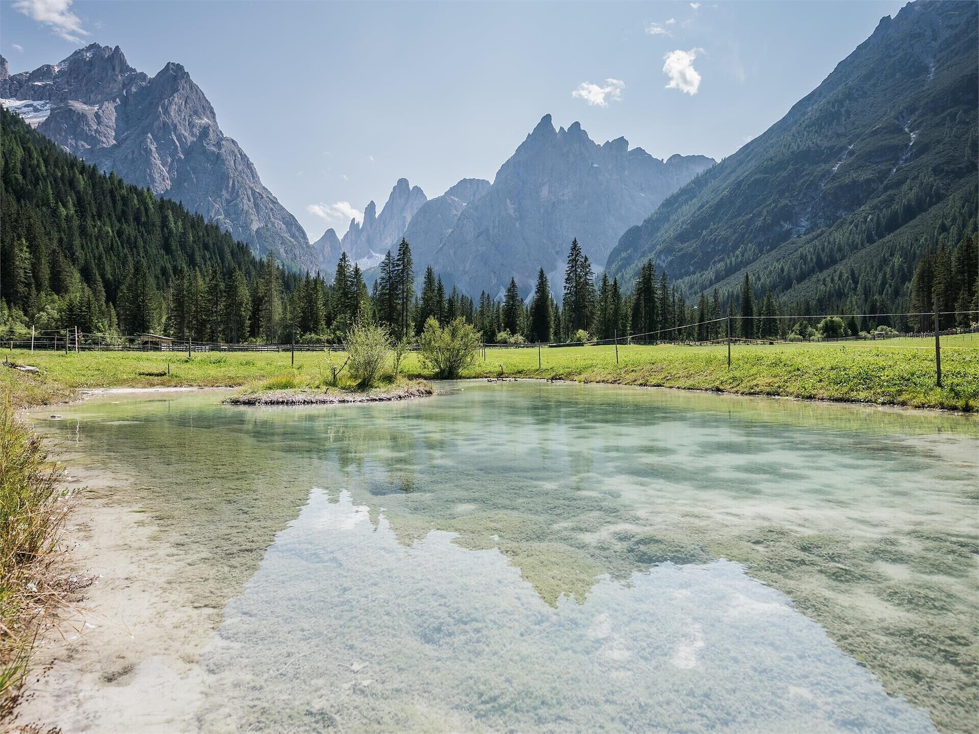
A very easy hiking trail leads through the romantic Fischleintal valley, offering a fantastic view of the Einserkofel peak. 
  • Suitable for strollers    
  • Great places to stop for lunch
  • Easy hike at the entrance to the Fischleintal valley
Gallery
Categories
  • Hiking and mountain tours
  • Family hikes
Tags
  • Linear route
  • Family-friendly
Route info
Easy
Distance
12,3 km
Activity time
3 h 05 min
Ascent
221 m
Descent
222 m
Technical skills
Physical effort
Scenary
Highest point
1.526 m
Lowest point
1.301 m
You might be interested in
Discover related tours
© @TVToblach
Intermediate
Add to favourites
Toblach
Summer hiking tour: Franadega/Frondeigen- Monte Calvo/Golfen
Distance 5,3 km
Activity time 2 h 30 min
Ascent 834 m
Descent 9 m
Status
open
Innichen, Sexten
Across alpine pastures to the Passo Monte Croce
Distance 7,5 km
Activity time 2 h 30 min
Ascent 71 m
Descent 526 m
Status
open
© Kotter Steger
Intermediate
Add to favourites
Pragser Tal
Summer hiking - Braies Vecchia/Altprags - Mountain "Monte Lungo/Lungkofel"
Distance 11,7 km
Activity time 5 h 35 min
Ascent 1.173 m
Descent 1.173 m
Status
open
Toblach
Theme path: Toblach/Dobbiaco - Fontanta "ZweiWasserBrunnen" - labyrinth
Distance 3,3 km
Activity time 2 h 00 min
Ascent 182 m
Descent 66 m
Status
open
Innichen
Family hike: Source of the Drava (Drau) River
Distance 2,4 km
Activity time 45 min
Ascent 43 m
Descent 24 m
Status
open
© © Tourismusverein Sexten
Intermediate
Add to favourites
Sexten
Hike: Haus der Berge - Lärchenhütte hut
Distance 8,0 km
Activity time 3 h 05 min
Ascent 538 m
Descent 539 m
Status
open