to the cable cars
Top

Hike: From Sexten to the Waldkapelle chapel

Sexten
Add to favourites
Category
Difficulty
Intermediate
Activity time
0:50
Duration in hours
Distance
1.9
Distance in km
Status
open
Suggested period
Jan
Feb
Mar
Apr
May
Jun
Jul
Aug
Sep
Oct
Nov
Dec
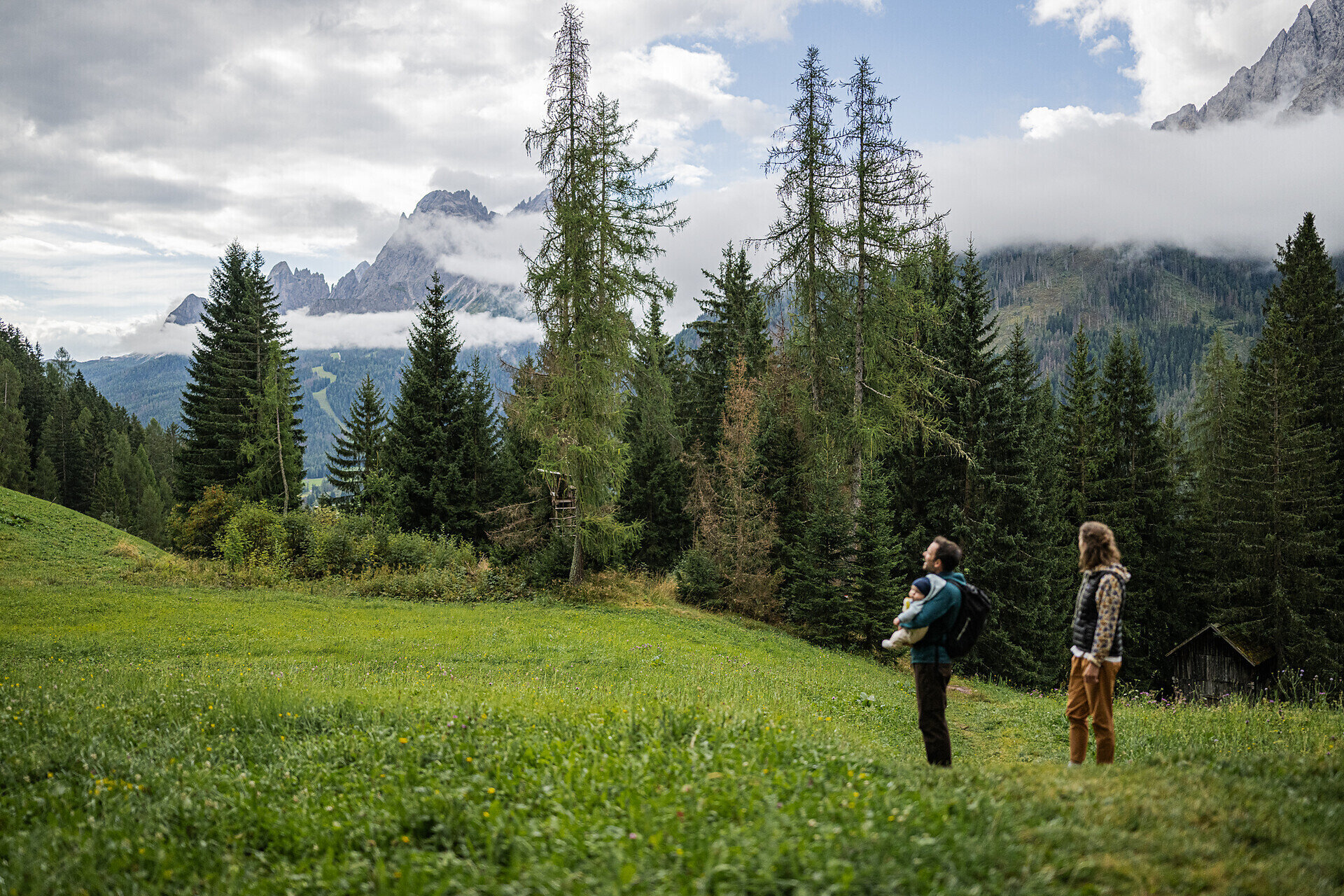
During the First World War, Sexten had to be evacuated due to its location directly on the Dolomites front. A few summers later, farmers were allowed to return to tend to their fields and acres. So that they could celebrate Holy Mass in secret, the Waldkapelle (forest chapel) was built near the "Holza Schluichte". Today, the Besinnungsweg (meditation path) leads to this magical place of power in the heart of the Sextner forests.
  • Easy theme trail with stations to rest
  • Past the "Schalensteine" (cup-marked stones), the first traces of settlement in Sexten    
  • The Waldkapelle as a place for quiet reflection
Gallery
Tags
  • Linear route
Route info
Intermediate
Distance
1,9 km
Activity time
50 min
Ascent
213 m
Descent
4 m
Technical skills
Physical effort
Scenary
Highest point
1.527 m
Lowest point
1.313 m
You might be interested in
Discover related tours
© Kottersteger
Intermediate
Add to favourites
Innichen
Hike: War cemetery "Burg" - Capella del bosco - Sesto/"Burg"-Waldkapelle-Sexten
Distance 8,0 km
Activity time 3 h 00 min
Ascent 400 m
Descent 257 m
Status
open
Toblach
Family walking tour: Toblach/Dobbiaco - Toblach/Dobbiaco lake - Nature Educational Trail - Toblach
Distance 7,9 km
Activity time 2 h 30 min
Ascent 61 m
Descent 61 m
Status
open
Innichen
Family hike: Farm Mehlhof - Farm Stauderhof
Distance 2,1 km
Activity time 1 h 00 min
Ascent 285 m
Descent 20 m
Status
open
Pragser Tal
Summer hiking tour - Lago di Braies/Pragser Wildsee lake - Malga Cavollo hut
Distance 6,6 km
Activity time 2 h 56 min
Ascent 846 m
Descent 158 m
Status
open
Pragser Tal
Summer hiking lago di Braies - Villabassa
Distance 8,4 km
Activity time 2 h 09 min
Ascent 36 m
Descent 394 m
Status
open
Sexten
Winter hike (with buggy): Gasthof Panorama – Helmhanghütte
Distance 1,2 km
Activity time 20 min
Ascent 64 m
Descent 9 m
Status
Closed