to the cable cars
Top

Summer-walk around Aufkirchen/Santa Maria

Toblach
Add to favourites
Difficulty
Easy
Activity time
2:00
Duration in hours
Distance
5
Distance in km
Status
open
Categories
  • Hiking and mountain tours
  • Family hikes
  • Stroller-friendly
Tags
  • Round trip
Suggested period
Jan
Feb
Mar
Apr
May
Jun
Jul
Aug
Sep
Oct
Nov
Dec
The path offers a great view of Dobbiaco and the Dolomites, but can also be culturally appealing.

This hike leads from the village center of Dobbiaco to the Aufkirchen campaign group, this path is considered moderately difficult. From Aufkirchen, a short path behind the Hotel Kirchenwirt takes you to Neunhäusler and finally from there, either in a westerly direction to Niederdorf or in an easterly direction to Dobbiaco. The hike is on the sunny side of Dobbiaco and offers an incredible panorama of the Dolomites. It is especially recommended for families.
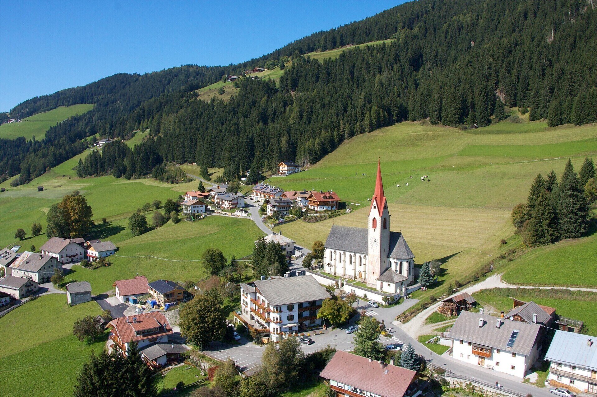
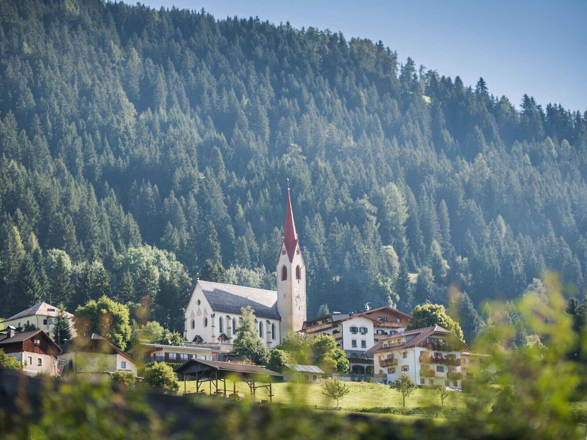
Gallery
Categories
  • Hiking and mountain tours
  • Family hikes
  • Stroller-friendly
Tags
  • Round trip
Route info
Easy
Distance
5,0 km
Activity time
2 h 00 min
Ascent
119 m
Descent
119 m
Technical skills
Physical effort
Scenary
Highest point
1.314 m
Lowest point
1.210 m
You might be interested in
Discover related tours
Pragser Tal
Family hiking tour - Pragser Berg/Monte di Braies
Distance 3,4 km
Activity time 1 h 05 min
Ascent 195 m
Descent 73 m
Status
open
Sexten
Hiking path with buggy: Moos – Hennstoll hut - Signaue
Distance 3,7 km
Activity time 1 h 05 min
Ascent 98 m
Descent 124 m
Status
open
Innichen
Family hike: Farm Mehlhof - Farm Stauderhof
Distance 2,1 km
Activity time 1 h 00 min
Ascent 285 m
Descent 20 m
Status
open
Toblach
Summer walk around: Rienz/Rienza - Gratsch/Grazze - "Grieswaldile"
Distance 4,3 km
Activity time 1 h 30 min
Ascent 58 m
Descent 58 m
Status
open
© Harald Wisthaler
Intermediate
Add to favourites
Sexten
Hike: Eastern "Gsell"
Distance 10,8 km
Activity time 4 h 40 min
Ascent 814 m
Descent 814 m
Status
open
Pragser Tal
Summer hiking - Lago di Braies/Pragser Wildsee - Mountain "Cima dei Colli Alti/Hochalpenkopf"
Distance 5,8 km
Activity time 3 h 10 min
Ascent 1.202 m
Descent 155 m
Status
open

