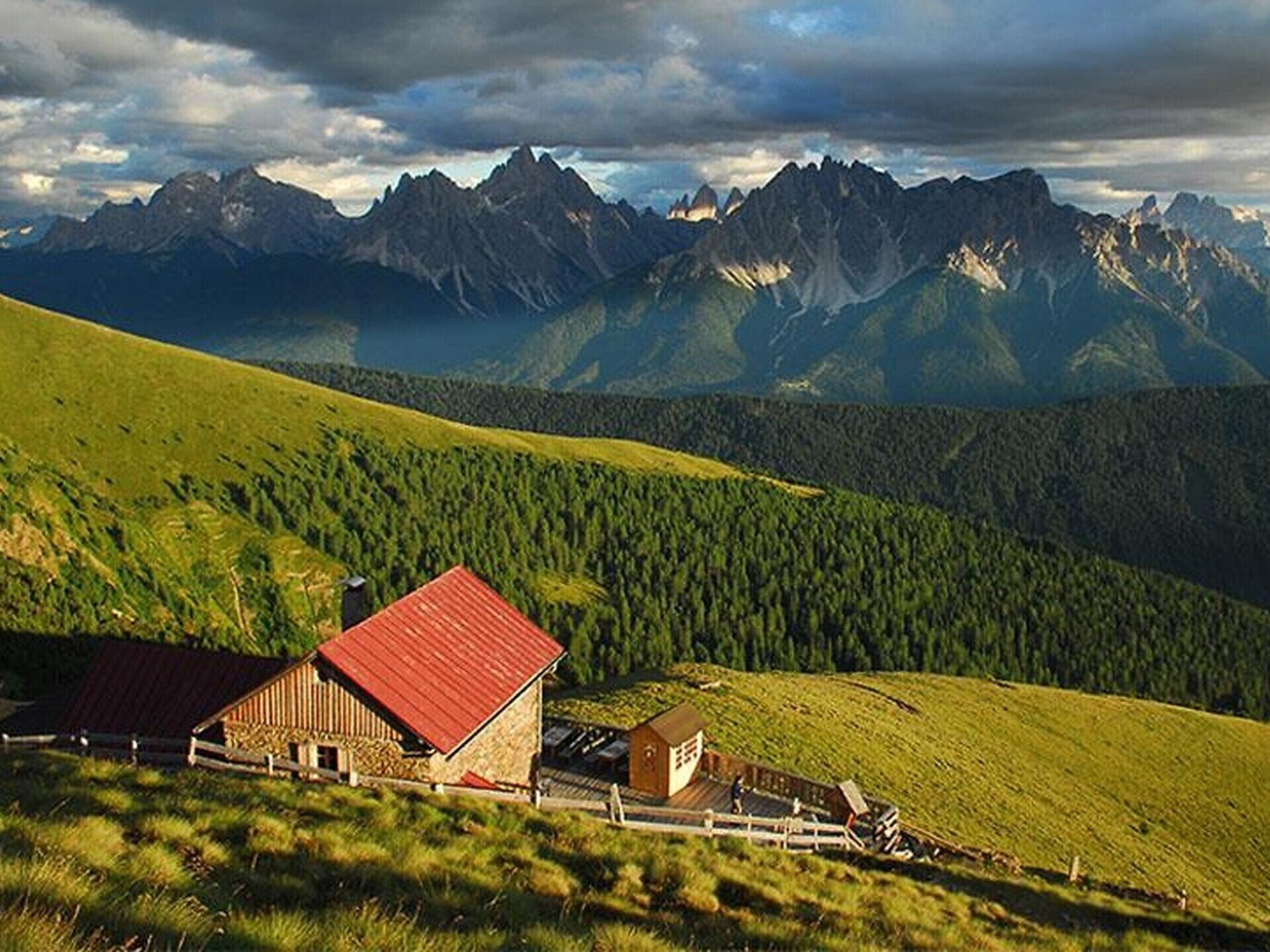
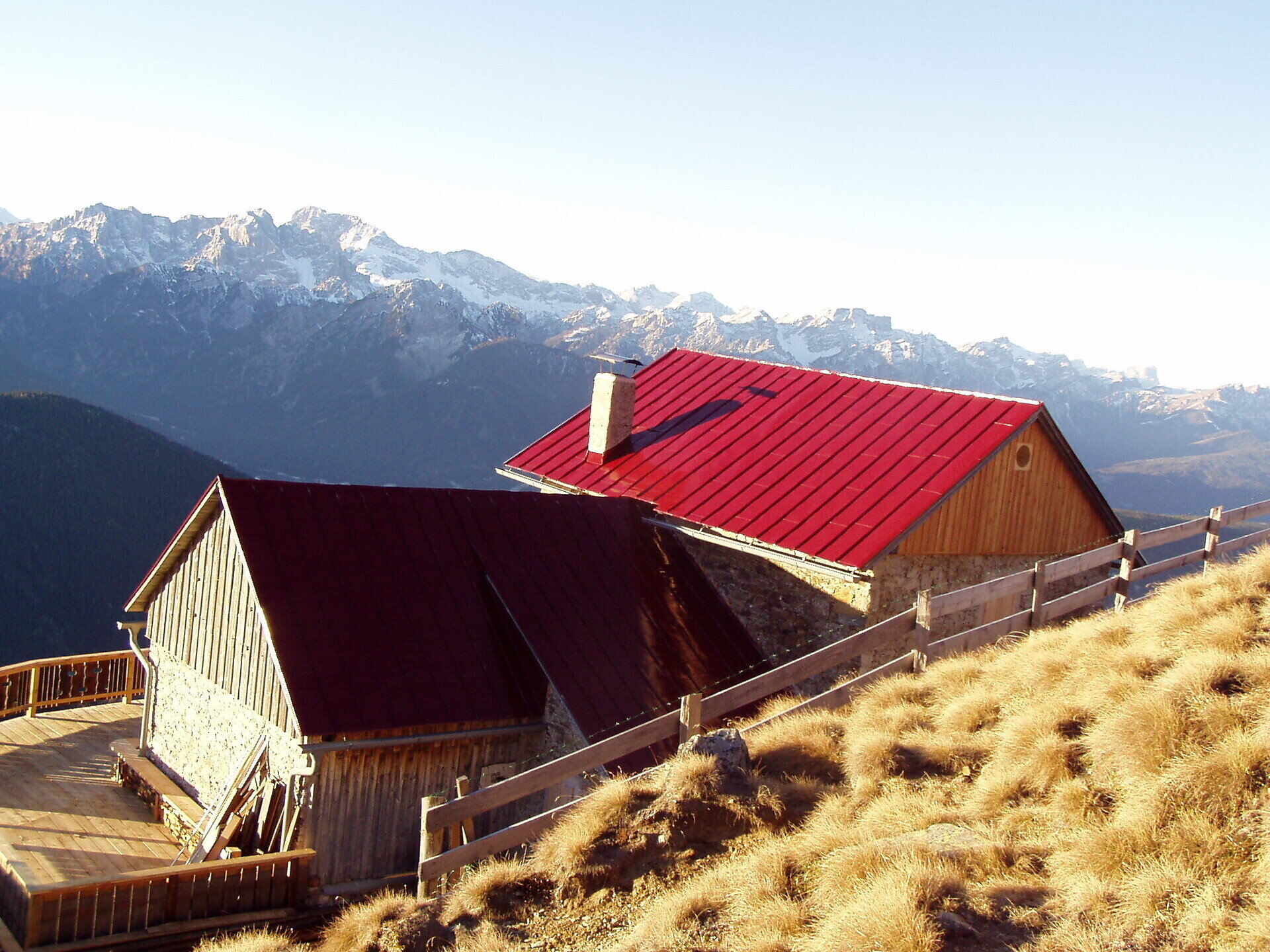
The circular walk in the quiet north of Toblach/Dobbiaco leads past the Silvesteralm/Malga San Silvestro hut, the Steinbergalm/Malga Steinberg hut and the Bonner hut. The Bonner hut is the highest point of the hike and offers a breathtaking view of the surrounding Dolomite peaks.
The hike starts at the "Schnegger Säge" in the Silvestertal/Valle San Silvestro valley. Path no. 1 leads always straight in the middle of the forest, gently ascending to the Silvesteralm/Malga San Silvestro hut. Straight ahead, past the Silvesteralm hut, the path continues to the Steinbergalm/Malga Steinberg hut. On the left of this pasture, the circular hike leads uphill over the path no. 5, past a fountain, to the tree line. There you have the first wonderful view of the surrounding Dolomites. Below the Pfannhorn, the path leads slightly uphill to the Bonner hut. The descent takes place on path no. 25 A. This narrow path leads relatively flat to the "Pfanntörl" and from there downhill, past the Bergalm hut to Kandellen/Gandelle. After the chapel, a path on the left side leads over fields again into the Silvestertal valley and then slightly uphill back to the starting point.
public transportation
Accessible by public transport. The timetables are available on www.sii.bz.it.